Asotin Creek

Bighorn Sheep at Asotin Creek.

It’s funny that only two weeks ago, I was clearing snow from my driveway, and now there’s hardly any sign of winter left on the Palouse. Instead of snow, it rained for nearly a week straight. So when we caught a break in the weather on Saturday, I was quite happy to take advantage and begin my spring hiking season. I chose to go to Asotin Creek.

The town of Asotin is located five miles south of Clarkston, Washington. It is here that Asotin Creek empties its water into the Snake River. But the hiking begins about 20 miles upstream deep in a 1500 foot canyon. Summers are hot and dry. In the spring, the hill sides are green. In the fall, the deciduous vegetation adds a splash of color to the dry landscape. In winter, the area is closed off to motorized vehicles to protect the wintering herds of elk and other large game. It takes just over an hour to reach the trailhead from Moscow, making it a great destination for a day trip.

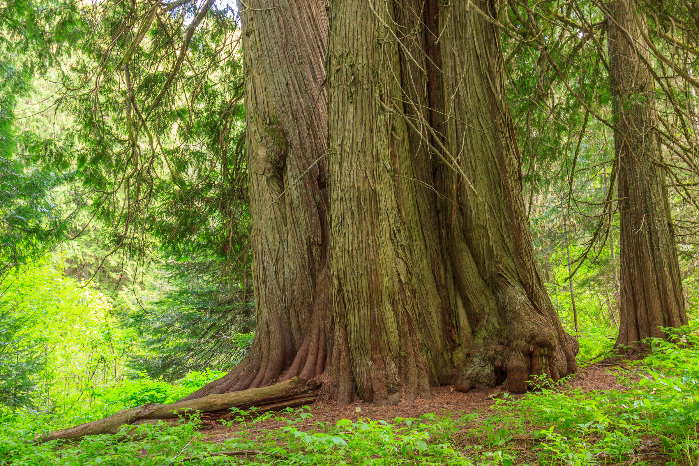
Asotin Creek is a special place for me. It was the fist hike I ever did in this area, and that was before I even moved out here. I come to Asotin Creek to hike a few times a year, but really I should come more often. On this trip, I hiked in about 5 miles, farther than I have made it in previous trips. As you get farther back into the canyon, the forests begin to take over the bottom. By the time you reach the Blue Mountains, there are trees up both sides of the canyon. But I’m afraid I can’t quite make it that far in one day, at least not without a shuttle waiting for me at the other end. But I am tempted to bring my backpack and spend a night or two along the creek. I always forget that it’s a place to get away without having to travel too far from home.

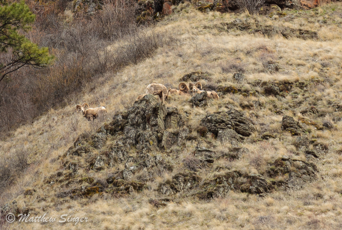
I’ve always heard stories of the bighorn sheep that reside in the canyon. One of my Flickr contacts sees them every time. I never had such luck until this last trip. I had been looking for them on the entire hike in, and finally, on the way out, I spotted about 6 of them on the opposite wall of the canyon. The photo above is as good of a shot as I could make with a 105mm lens.

Similar Posts

  • |

    View from Mount Rogers

    View from Mount Rogers Originally uploaded by mineral2. Oops! I promised a detailed account of my Mount Rogers extravagansa, but forgot to post about it here. So here it is, almost two months late. Of course, you can visit the photo galleries for photos as they are now up there. But here’s my adventure: Sunday: I left Alabama on Sunday. I said my good byes to everyone, including my 5-foot wild gray ratsnake rescue friend (hehehe), and my partings from Jen. We’re still together for now, but time shall tell if the distance thing works out. So anyway, I headed…

  • Labor Day Weekend: Backpacking the Seven Devils

    This is the story of how Dan Beck and I ended up spending much of our Labor Day weekend in the backcountry of one of Idaho’s most scenic and rugged mountain ranges, the Seven Devils. It begins over a week before when I sent out a message for a backpacking trip over Labor Day weekend. I suggested a 3-night trip into the Eagle Cap Wilderness with an emphasis on summiting peaks rather than counting long miles. I had some interest and was all set for our 3rd annual Wallowas weekend, when some of the members decided it would be a…

  • |

    Small hikes near Moscow

    The end of the semester is a busy time, and that often means foregoing larger adventures for some smaller ones closer to home. In the last week, I’ve been trying to keep active and take advantage of the local trails. One of these trails is the Headwaters trail on the western end of Moscow Mountain. In my five years here, I’ve never hiked this trail despite its close proximity and popularity among hikers, runners, and mountain bikers. Yet when all of my friends say they were on Moscow Mountain, they almost always mean the Headwaters trail. Headwaters is a 5…

  • East Peak

    There are many peaks in the Wallowas that top 9000 feet, so East Peak might go unnoticed if it weren’t so easily accessible. It turns out that I’m not the only one who thought to use the Wallowa Lake Tramway to cover the first 3700 feet of elevation, reducing the climb to the peak to 1300 feet. This hike is featured in the book, and while I was’t expecting a crowd, we did pass three other hikers along the way, two of which are local to the area and hike to the peak regularly. The Wallowa Lake Tramway brings you…

  • Sand Mountain Trail

    I don’t get out hiking or geocaching often these days. With geocaching, it makes sense. I’ve found nearly all of the geocaches in a close distance to home and town, forcing me to travel farther distances just to make a find. But when it comes to hiking, I have less of an excuse. I don’t live in Moscow. I live near Deary, 25 miles east, which puts me 25 miles closer to the mountains. It puts me at the edge of the mountains, the foothills if you prefer. There are hiking trails all around. The closest is spud hill, from…

  • 4th of July

    Once again, I missed the fireworks. I admit that I was looking forward to photographing them, but in the end, I was busy hanging out with friends, and we decided not to go over to Pullman. I did spend much of my nation’s birthday enjoying one of the best parts about this country: its wild side. I went back up to Freezeout to hike into the alpine meadows of Grandmother Mountain, and I brought a friend with me who had never been up there. Our goal was not to reach the summit, but to simply escape the heat, enjoy the…